
Geographic Information System (GIS)
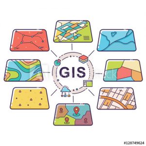
GIS is a powerful software, consisting of multiple modeling tools, which illuminate and expose relationships, patterns, and trends for use in diverse industries. Particularly for the Public Affairs industry, GIS reveals geographically referenced information to such comparisons as: voter registration data, constituents’ territory, health behaviors & outcomes, wage & earning data, and a myriad of other selectable values. GIS then provides analysis in the forms of charts, graphs, visuals, narrative reports, tables and maps.